Search our Site
WELCOME TO FAMOUS FRANKO'S MAPS - 
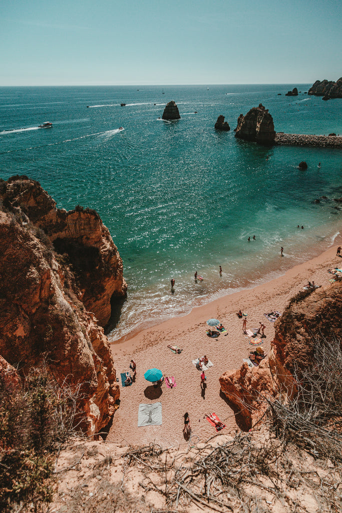
Fabulous Maps of Favorite Places!

Franko’s Maps began in 1992 when I was just trying to suit my own want of a map for mountain biking the local trails near my home in Corona, California. Inventing cartographic methods, I created “Franko’s Map of Santa Ana Mountains”, plus “Franko’s Map of Chino Hills State Park”. Since those beginnings, I’ve expanded a bit: First, I added more trail maps, including Franko’s Map of Big Bear!, and Franko’s Map of San Joaquin Hills (later renamed Franko’s Map of South Coast Wilderness). Then I made a series of six California islands and coastal maps, starting with a map of my beloved Santa Catalina Island. I then created a series of Hawaiian Islands maps, an enormously ambitious endeavor, yet obviously fun. Franko’s Map of Oahu led to a second Oahu map, called Franko’s Oahu Surfing Map. This success led to my developing Franko’s Map of Orange County Surfing and Franko’s Map of San Diego Surfing, and there are more surfing maps coming. Simultaneously, I came up with an new type of “fish cards”, which are really miniature “Franko’s Maps” on side 1, with local undersea creatures on side 2. Along the way I’ve made boating and fishing related maps too, such as Franko’s Map of Big Bear Lake, Franko’s Map of Newport Harbor and Upper Newport Bay, and Franko’s Map of Mission Bay. The Newport map was originally made to suit my own enjoyment of kayaking there. All of the above maps are printed on plastic paper so that they are waterproof and rip-proof. The use of plastic is just right for use in the mountains, islands, ocean, harbors and lake environments. Of course there will be more and more Franko’s Maps in the future, but for now, here is current list of Franko’s fabulous maps of favorite places:

Franko’s Southern California Trail Maps
Topographic trail maps for mountain and road bicyclists, hikers and equestrians.
Includes (Click on map title to zoom to it):

Franko’s Maps California Islands and Coastal Series
Beautiful and colorful recreational charts for divers, snorkelers, kayakers, bicyclists, hikers, tourists, and everyone who loves California’s coast and islands. The first six maps on this list are often referred to as “Franko’s California Dive Maps”, since they feature details of the scuba diving sites as well as kelp forest creatures of the area.
Includes (Click on map title to zoom to it):


Franko’s California Fish Cards
Miniature maps and kelp forest creatures identification of six of Franko’s favorite places to scuba dive and snorkel. Informative for general information too.
Includes (Click on map title to zoom to it):


Franko’s Map of the Hawaiian Islands
Recreational maps with scuba diving & snorkeling sites, the best surfing on earth, major visitors attractions, how-to-get-around road maps, & detailed islands information. These fabulous Hawaiian Islands Maps are beautiful & inspiring. Perhaps they should be called “Franko’s Aloha Maps”. Scuba divers refer to them as “Franko’s Hawaiian Dive Maps”, since they feature so much information about local dive sites and reef creatures.
Includes (Click on map title to zoom to it):

Franko's Hawaiian Reef Creatures Guides!
The four 6" x 9" (15cm x 23 cm) “fish cards” of the islands are actually a miniature Franko’s Map of that islands, along with beautiful photography representing the islands’ beauty, plus they have over 70 common Hawaiian fish & reef creatures depicted in beautiful computer graphics artwork by Franko. The “Mini Fish Card” is pocket-size at 4" x 6" (10cm x 15cm).
Includes (Click on map title to zoom to it):


Franko’s Surfing Maps!
Different and far better than any surfing maps that have ever been created. Hundred of surfing sites located and described on a fabulous Franko’s Map. This series is destined to grow.
Includes (Click on map title to zoom to it):


Franko's Fishing Maps!
Maps especially for the boater and fishermen, although they are also useful to kayers, waterskiers, and anyone else who loves these fabulous places. There is a book’s-worth of information on each map.
Includes (Click on map title to zoom to it):


Franko's Maps Caribbean Series!
Various maps are in different stages of development, including Franko’s Map of Cozumel, Curacao, Grand Cayman, Little Cayman, Cayman Brac, and more. Some are finished, some are just and idea or in the works!


Franko's Map of Guam USA and Fish Card Series!
Some of the world’s most serene and beautiful Edens are located in the Pacific, including magnificent Micronesia, Tahiti, and many more.  Micronesia is an area as vast as the U.S., an it includes the Northern Mariana Islands (Saipan, Rota, Tinian and Guam), The Republic of Belau (Palau), The Federated States of Micronesia (The Western Caroline Islands of Yap, and Chuuk, or Truk and The Eastern Caroline Islands of Pohnpei and Kosre), the Republic of Marshall Islands (Kwajalein, Majuro and Arno Atolls), and the Republic of Kiribati.  The Hub of Micronesia is Guam.  Guam is a piece of the U.S.A. right in Micronesia.  Although divers and other explorers travel to much of Micronesia via Guam, Guam itself is a fantastic destination all on it’s own.  Franko’s first map for Magnificent Micronesia begins with Guam.  Each of these fabulous spots in the vast Pacific deserve to be mapped and their individual attributes should be bragged about.  Indeed, in the future, others will be added to Franko’s list, and the mapping will likely continue into the South Pacific as well.  Guam has been mapped with the fantastic aid of Mr. Guam Tourism, Mr. Bert Unpingco, who is the man who invented tourism in Guam in the first place.  Immense help has been freely given by the wonderful people of Guam.  Bert’s knowledge of Guam and his connections with the people of official agencies in Guam have put this map together.  This includes the help and connections with the Guam Visitors Bureau, the Guam Hotel and Restaurant Association, the officials at Guam’s National Park -War In The Pacific National Historical Park, The Highways Division of Guam’s Department of Public Works, The Chamorro Studies and Special Projects Division, Guam’s Division of Aquatic and Wildlife Resources, and Guam’s dive shops and people.  If Franko could receive even one tenth of this support for other Micronesian projects, they will come to fruition.  This help ties Guam with Franko’s Map of Waikiki and O’ahu Things to See and Do as the most comprehensive help that yours truly has ever been rendered on any project ever.  Interestingly, the Waikiki and O’ahu help, which was given by the wonderful people of Hawaiian Resources Co. (see hawaiianresources.net) also helped with the Guam project.  My thanks to publisher, Peter Cannon, webmaster Rob Reisenwitz and editor extraordinaire, Lisa Okino.  So thus begins Franko’s ventures beyond Hawaii, although Guam is still technically in the U.S.A.

Franko Maps of magnificent Micronesia
  • Palau Fish Card
  • Palau Guide Map
  • Truk Lagoon (Chuuk) Franko Map (COMING SOON)
  • Pohnpei Franko Map (COMING SOON)
  • Yap Franko Map (COMING SOON)
  • Kosrae Franko Map (COMING SOON)
  • Chuuk Fish Card (COMING SOON)
  • Pohnpei Fish Card (COMING SOON)
  • Yap Fish Card (COMING SOON)
  • Kosrae Fish Card (COMING SOON)


Franko's Maps Florida Series!


For Surfers, All Waves Lead to Hawaii
Franko's Oahu Surfing Map is a beautifully illustrated and obsessively detailed breakdown of all of the surf spots lining.. More...

Click here for Oahu Surf Map


Article on Franko:

NEW MAPS!

MAPS COMING SOON!
Main Sections


* Please note that due to the nature of maps, the look and apperance may change without notice.
You may recive a different looking map than what you see on this website.

Monoi oil, Monoi Soap, Dirt Shirts, Hawaiian Posters, Hawaiian Calendars and Postcards
A Lovely collection of Hawaiian books, stationery, postcards and Monoi Tiare Tahiti products.


Made with a Mac - Think Different...

No reproduction is allowed without
the express permission of
Franko Maps Ltd.


This site is hosted and maintained by Host-My-Website.com
A division of Support Data Inc.


Site Pages